Arizona Fish Report
Lake Davis Fish Report for 9-6-2007
Lake Davis Fish Report for 9-6-2007
Public safety closure at Davis Lake, Calif.
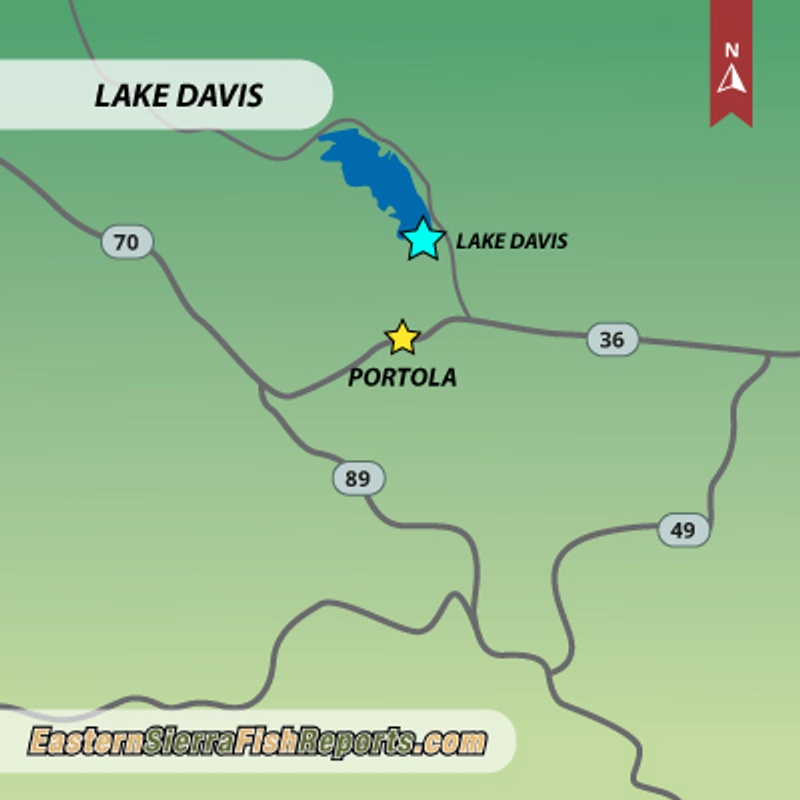
Lake Davis - Portola, CA (Plumas County)
by Don Quilici
9-6-2007
Plumas National Forest Supervisor Alice Carlton announced that a temporary public safety closure of Davis Lake, Calif., its shorelines, and all its tributaries went into effect on Tuesday, September 4, 2007.
The closure is part of the California Department of Fish and Game's (DFG) implementation of the Davis Lake Northern Pike Eradication Project.
The closure area includes: Davis Lake, the shorelines, all its tributaries, all land upslope of these water bodies to the ridge tops of the Freeman Creek watershed, and all campgrounds, boat launches, and day use sites in the Davis Lake Recreation Area.
The public safety closure will remain in effect until the tributaries and Davis Lake are found to be free of rotenone constituents.
The pike eradication project was approved after consideration of the joint Environmental Impact Report/Environmental Impact Statement for the project, which was prepared by DFG and the U.S. Forest Service in accordance with the California Environmental Quality Act and the National Environmental Policy Act.
The Davis Lake Closure Area begins at the intersection of Plumas County Road 126 (Davis Lake Road) with Forest Road 24N10 (Camp 5 Road); then east along Plumas County Road 126 to the intersection of Plumas County Road 112 (Grizzly Road) and Forest Road 24N06 (Crocker Mountain Road); then north along Turner Ridge to the intersection of Forest Road 24N08 (Bagley Pass Road) and Forest Road 24N09; then west along Turner Ridge to a point approximately 4 miles northwest of Lake Davis at Forest Road 25N10; then southwesterly towards Plumas County Road 112 to a point just south of its intersection with Forest Road 24N54 (near Little Summit Lake); then southeasterly along Grizzly Ridge to near the intersection of Forest Road 23N82 and Forest Road 24N12 (Willow Creek Road); then easterly over Smith Peak; then continuing easterly for about 3 miles to the point of beginning.
More Reports
Don Quilici Reports
for Thursday, September 6th, 2007: A suggestion for late summer camping and trout fishing
Don Quilici Reports
for Thursday, August 30th, 2007Lake Almanor: Lake Almanor Fish Report 08-30-07
Lake Sabrina: Lake Sabrina Fish Report 08-30-07
: Blue Lakes Fish Report 08-30-07
Bridgeport Reservoir: Bridegport Reservoir Fish Report 08-30-07
Bucks Lake: Busks Lake Fish Report 08-30-07
Carson River: East Carson River Fish Report 08-30-07
Convict Lake: Convict Lake Fish Report 08-30-07
Crowley Lake: Crowley Lake Fish Report 08-30-07
Hot Creek: Hot Creek Fish Report 08-30-07
Lake Davis: Davis Lake Fish Report 08-30-07
East Lake: East Lake Fish Report 08-30-07
Frenchman Lake: Frenchman Reservoir Fish Report 08-30-07
Rush Creek: Rush Creek Fish Report 08-30-07
Lahontan Reservoir: Lahontan Reservoir Fish Report 08-30-07
Mammoth Lakes : Mammoth Lakes Fish Report 08-30-07
East Walker River (CA): East Walker River Fish Report 08-30-07
East Walker River (CA): West Walker River Fish Report 08-30-07
East Walker River (CA): East Walker River Fish Report 08-30-07
Virginia Lakes: Virginia Lakes Fish Report 08-30-07
Twin Lake Upper: Upper Twin Lakes Fish Report 08-30-07
Lake Tahoe: South Shore Lake Tahoe Fish Report 08-30-07
Lake Tahoe: South Shore Lake Tahoe Fish Report 08-30-07
Lake Tahoe: North Shore Lake Tahoe Fish Report 08-30-07
Stampede Reservoir: Stampede Reservoir Fish Report 08-30-07
Shasta Lake: Shasta Lake Fish Report 08-30-07
Shasta Lake: Shasta Lake Fish Report 08-30-07
Sacramento River: Sacramento River Fish Report 08-30-07
Sacramento River: Sacramento River Fish Report 08-30-07
Owens River: Upper Owens River Fish Report 08-30-07
Arizona.FishReports.com © 2026. All Rights Reserved.
Website Hosting and Design provided by TECK.net
Website Hosting and Design provided by TECK.net